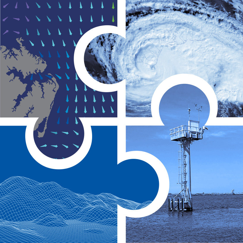
The Universal Hydrographic Data Model
What is S-100?
S-100 is known as the Universal Hydrographic Data Model. It is a hydrographic geospatial data standard that can support a wide variety of hydrographic-related digital data sources, and aligns with mainstream international geospatial standards — in particular the ISO 19000 series of geographic standards. This alignment enables easier integration of hydrographic data and applications into geospatial solutions.
The S-100 framework uses machine readable catalogs that interact with plug-and-play systems and allows for easier updating of data standards. In other words, the S-100 framework and corresponding standards will be applied to a suite of S-series hydrographic products. NOAA is an active participant in the development of S-100 and associated product specifications, and works to align new products and services to the S-100 suite of standards under development. This will enable mariners to have more information integrated within their navigation systems, which helps them plan optimal routes and make critical decisions at sea.
Who is developing S-100?
The International Hydrographic Office (IHO) S-100 Working Group is responsible for setting many hydrographic related standards for electronic navigational charts (ENC), bathymetry, water levels, surface currents, Marine Protected Areas, under keel clearances, maritime limits and boundaries. The World Meteorological Organization (WMO) is responsible for the S-411 ice forecast, S-412 weather, S-413 and S-414, which are other subsets of the weather. The International Association for Lighthouse Authorities (IALA) is responsible for the S-20X suite, and the International Electrotechnical Commission (IEC) is responsible for S-421 route exchange for ship-to-shore and ship-to-ship standards.
What S-100 data products and services is NOAA working on?
Electronic Navigational Chart
ENCs are vector data sets that support all types of marine navigation. The product was originally specified within the S-57 IHO Transfer Standard for Digital Hydrographic Data. Produced since the 1990s, ENCs were designed for use by large commercial vessels using an Electronic Chart Display and Information System (ECDIS), but are now also being used on simpler navigation systems on many types of ships and recreational boats. The new S-101 ENC Product Specification retains most of the features and attributes currently in the S-57 ENC product, makes improvements to the definition of some features, and adds a few new ones. The primary benefit of the new S-101 ENC is that it may be used with other S-100 based products and in fact will often serve as a "base map" for the display of many other types of data.
Bathymetric surface
On a chart, water depths are connected with a line known as a depth contour. Depth contours present a picture of the water bottom to the mariner. A bathymetric surface layer provides a greater level of detail to charts, showing the depths in between contour lines through colors and shading. The international standard for the dissemination and display of the bathymetric surface is S-102. This specification has been optimized for use in navigation systems and is a digital elevation model which represents the seafloor in a regular grid structure. In addition to creating product files, these datasets also maintain compliant discovery metadata that allows for machine to machine discovery and dissemination. The discovery metadata accompanies each data product and is an XML catalog file that contains all the relevant information about the data products, including product boundaries and latest edition.
Surface current forecasts
The international standard for surface current forecasts is called S-111. This standard is designed to make surface currents compatible with electronic navigational charts. The standard addresses how the metadata, or information about the data, is communicated and formatted. This standard also addresses the challenge of determining how to display currents in a navigation system to ensure that a mariner can show the surface current data without covering up important navigation information on a chart.
Water level forecasts
The international standard for water levels is S-104. Like surface current forecasts, this standard addresses how relevant tidal and water level forecast data is displayed in ship board navigation systems without compromising the ability to navigate using an electronic chart. The water level standard is still under development by the International Hydrographic Organization.
Weather hazard overlay
The weather and wave hazard overlay (S-412) is currently under development. This standard takes text warnings sent to mariners and converts them to polygons, which can then be displayed over the chart, making it easier to visualize where these hazards are occurring.
How do these all fit together?
S-100 provides the framework for product specifications which define the data product but also includes additional resources such as machine readable feature catalogue and portrayal catalogue.
S-100 is significant because its framework includes guidance for robust metadata libraries and data interoperability rules. This guidance ensures that products developed within the framework are complementary and work together. For example, surface current arrows will not cover up important soundings on nautical charts. They will be standardized across the world so that data provided by European countries is formatted the same way as data from the United States. Finally, the format and metadata libraries will ensure all these data will be machine-to-machine readable and packaged small enough for download in a low bandwidth environment. A mariner planning to transit a specific route can download just the data that they need along their intended route. This is data products and services made with the mariner’s needs in mind.
Related Links
Explore the prototype data for S-102 High Resolution Bathymetry: Explore the prototype data for S-111 surface currents and supporting documentation:- NOAA S-111 Surface Water Currents Data Information
- AWS S3 Explorer S-111 Data
- Google Public Cloud Bucket S-111 Data
Questions or Feedback
We look forward to receiving your feedback through the NOAA ASSIST tool.
